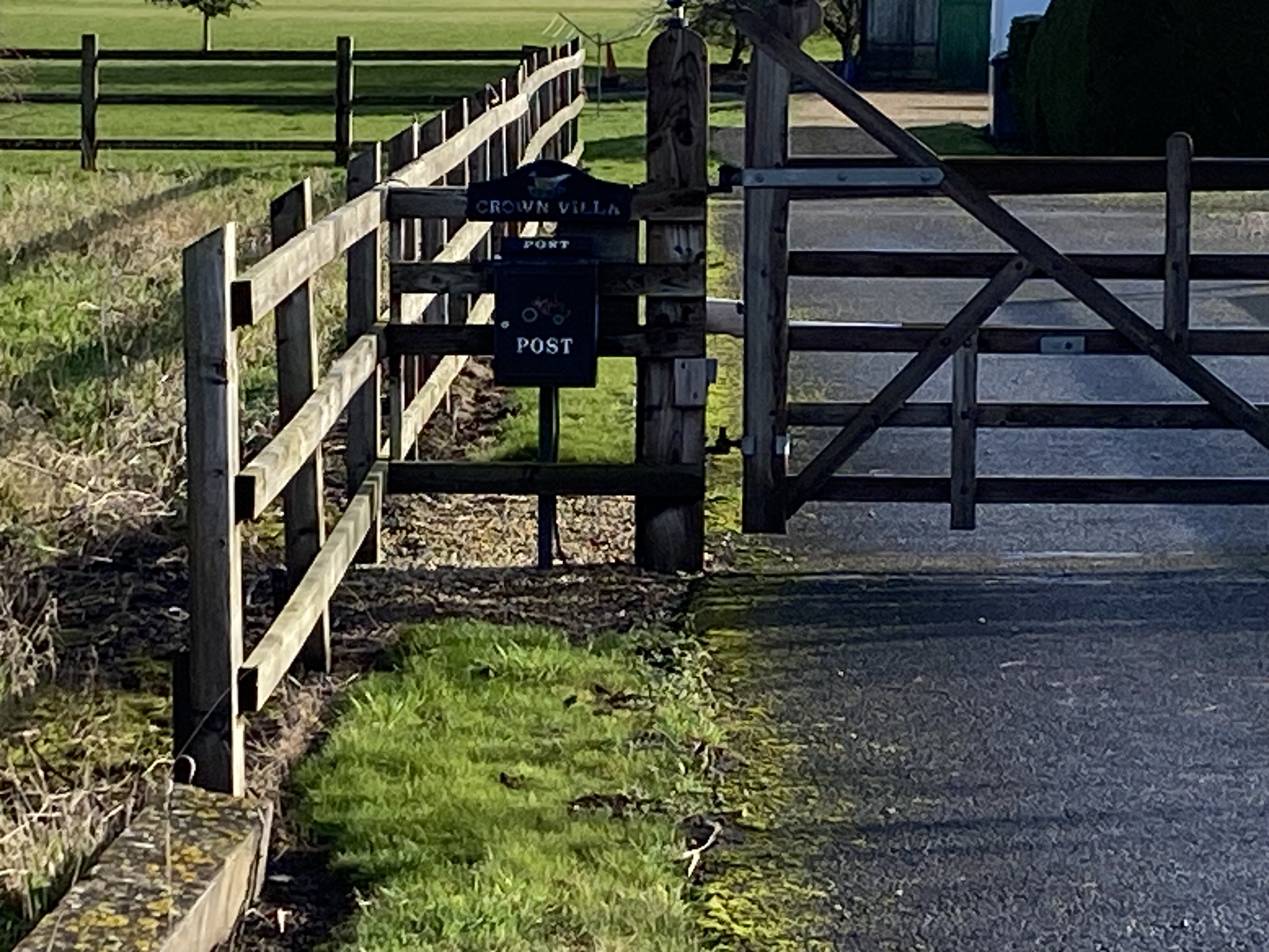
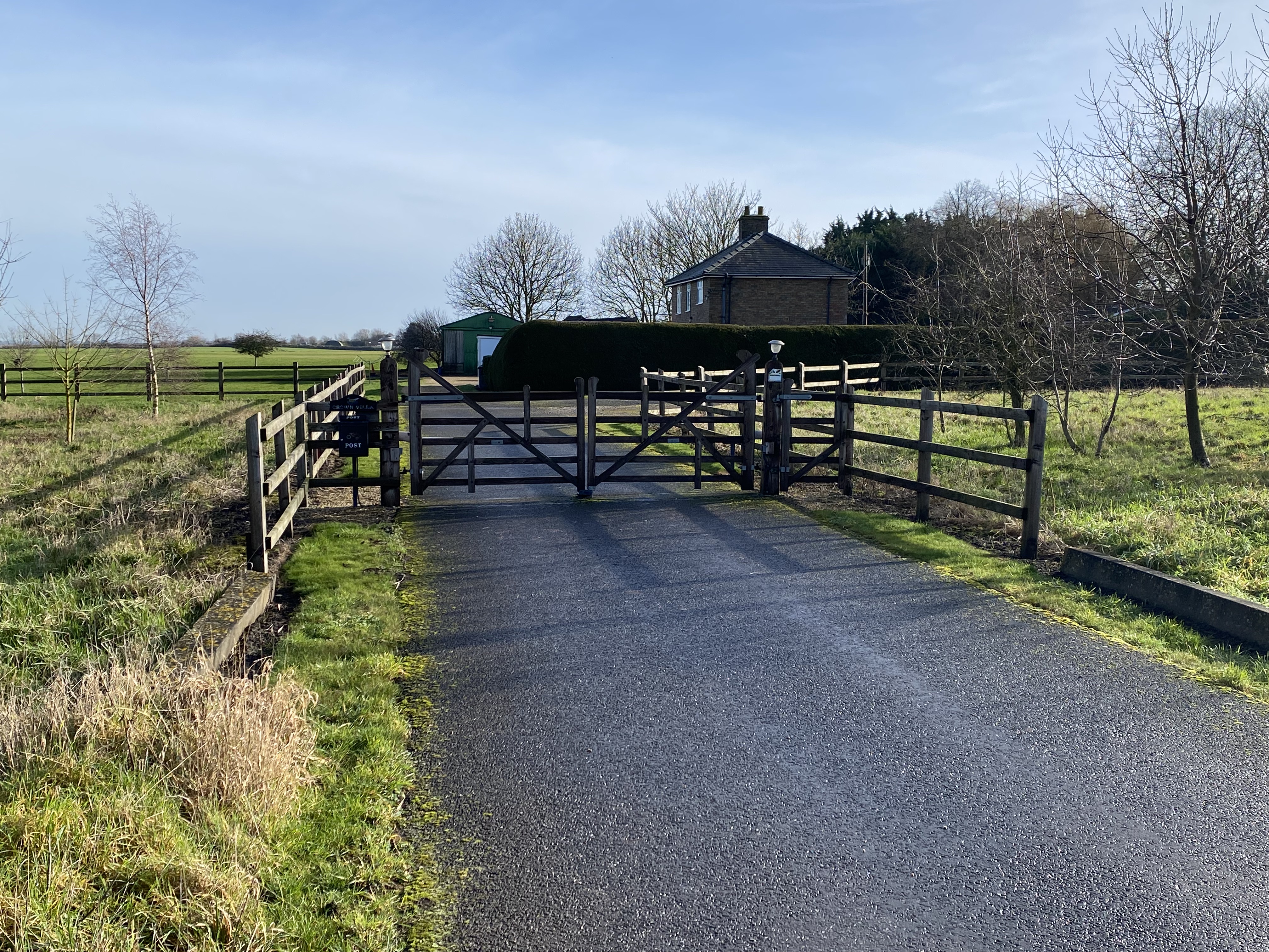
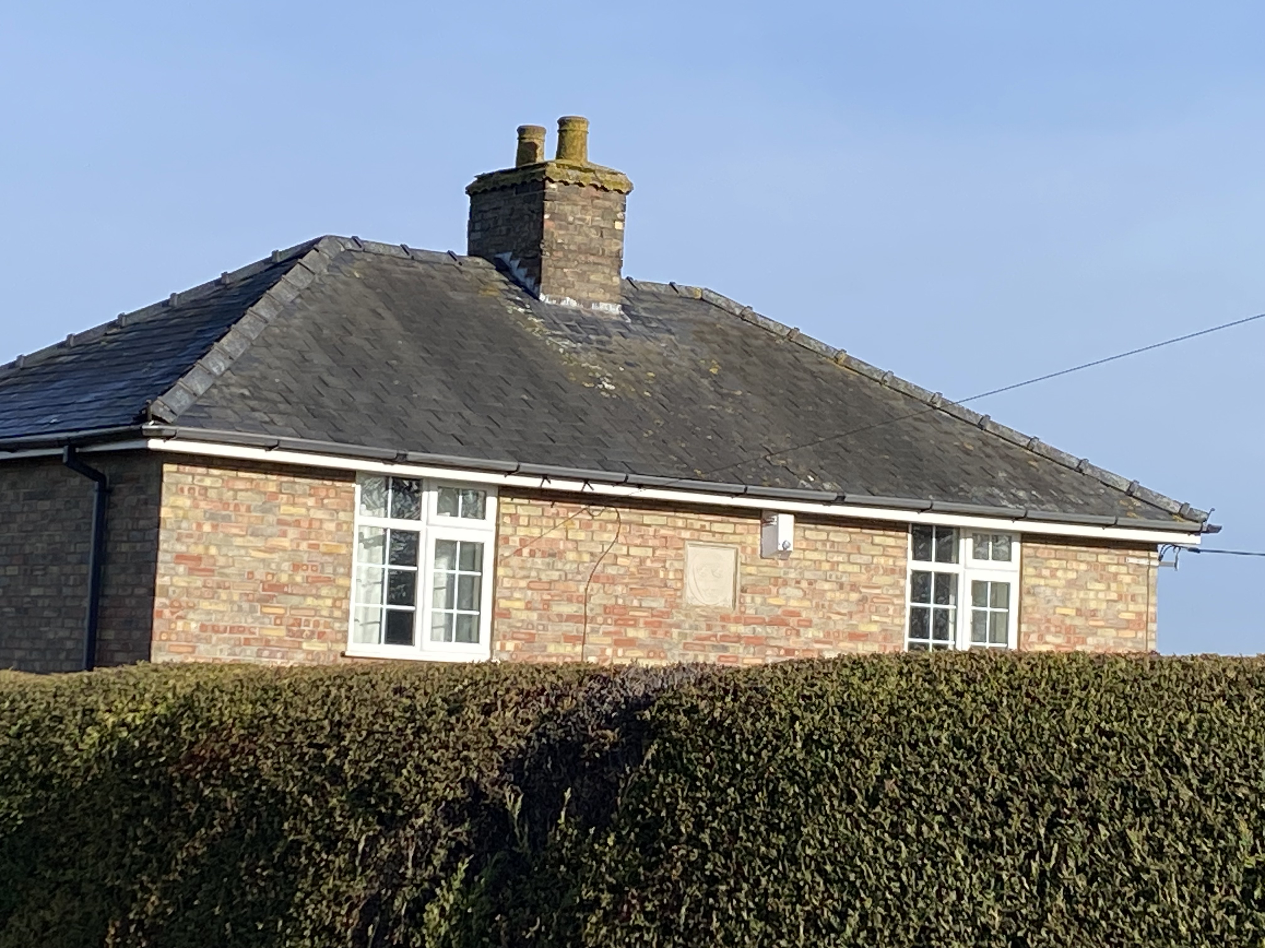
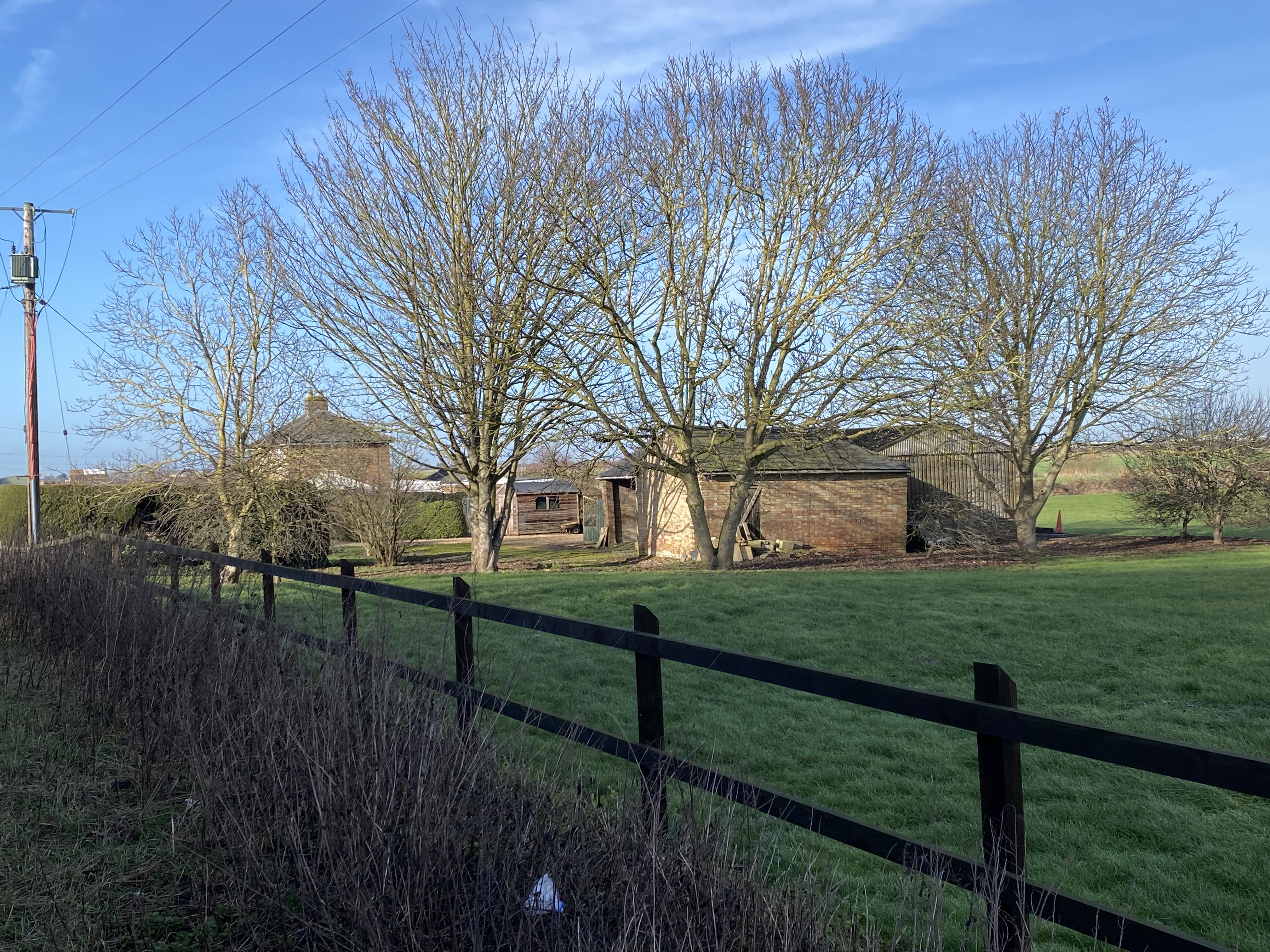
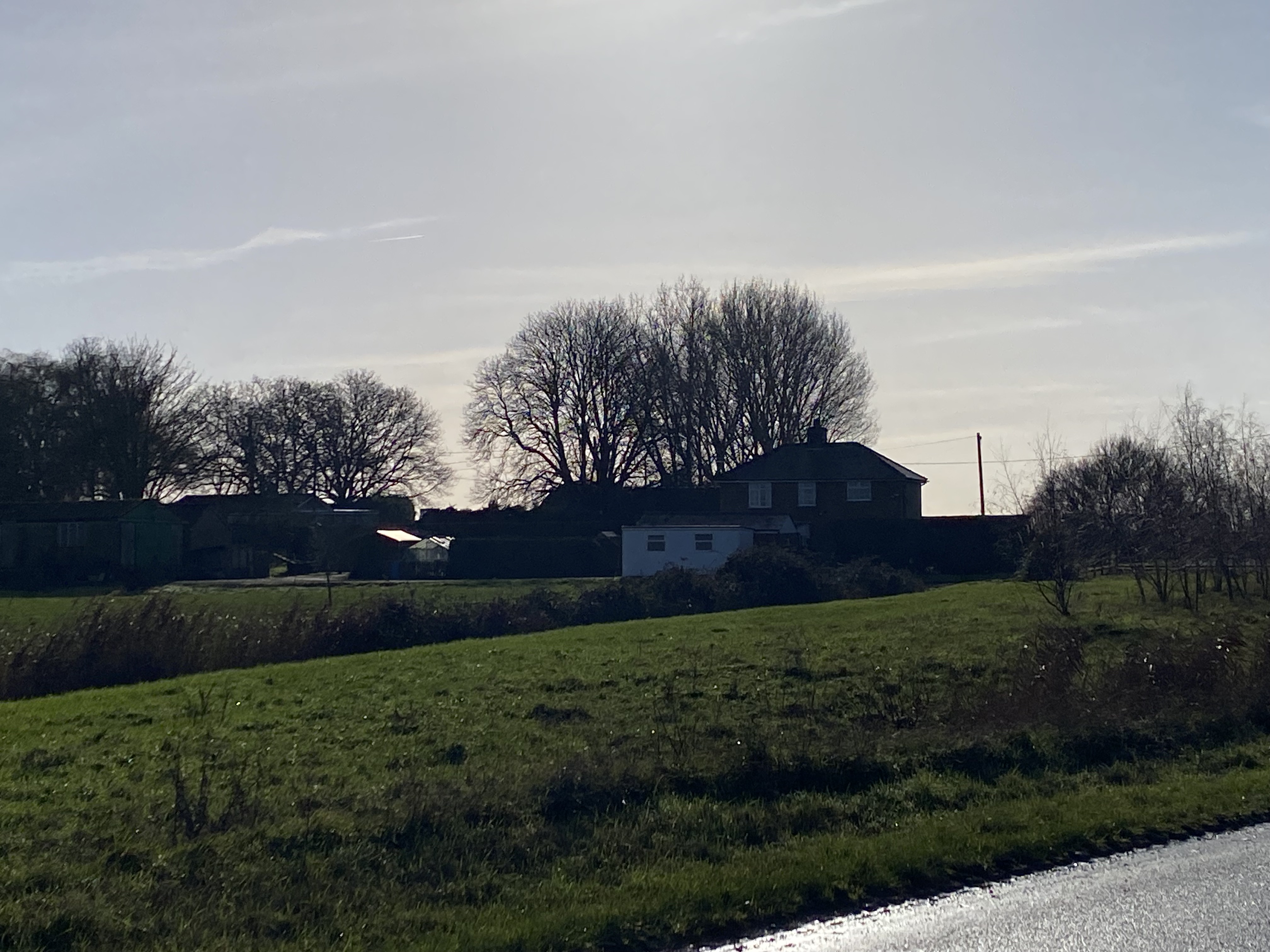
This is the house at the Junction of the Mildenhall and White House Roads and is the first house on the right. There is what appears to be a sandstone plaque on the front of the house. I can’t quite make it out but it seems to look like a coat of arms. Was this house always called Crown Villa. It may have been, though it position does lend it to being a former farm house.
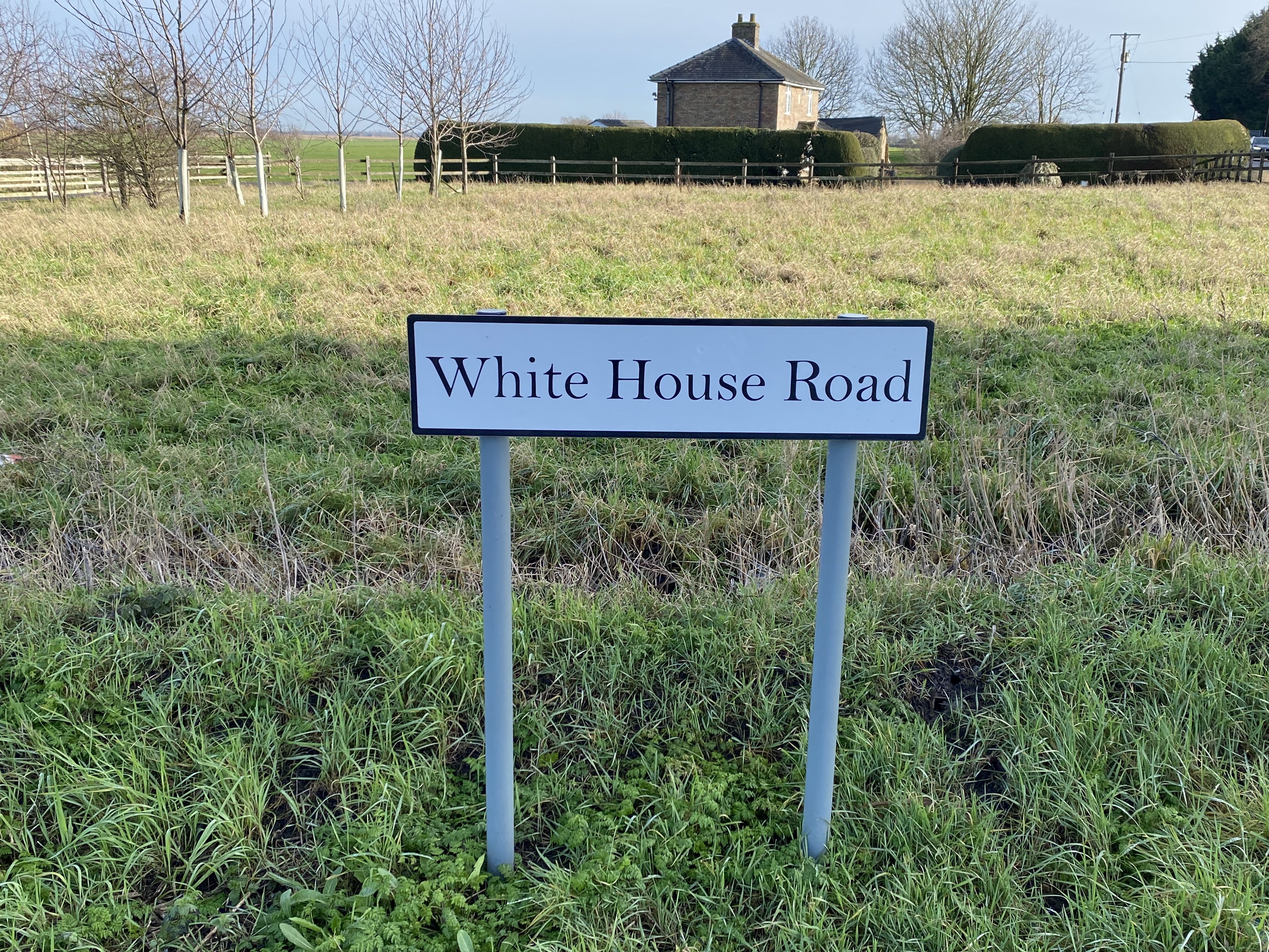
On the maps dating back to 1824 (maybe further), there appears to be a building at the location of crown Villa. That area is called White House Bridge. Some maps also show what looks like a bridge traversing the Mildenhall Road. So it seems to indicate that one or both were called White House Bridge. This is so on the 1968 map and the 1967 one shown below.
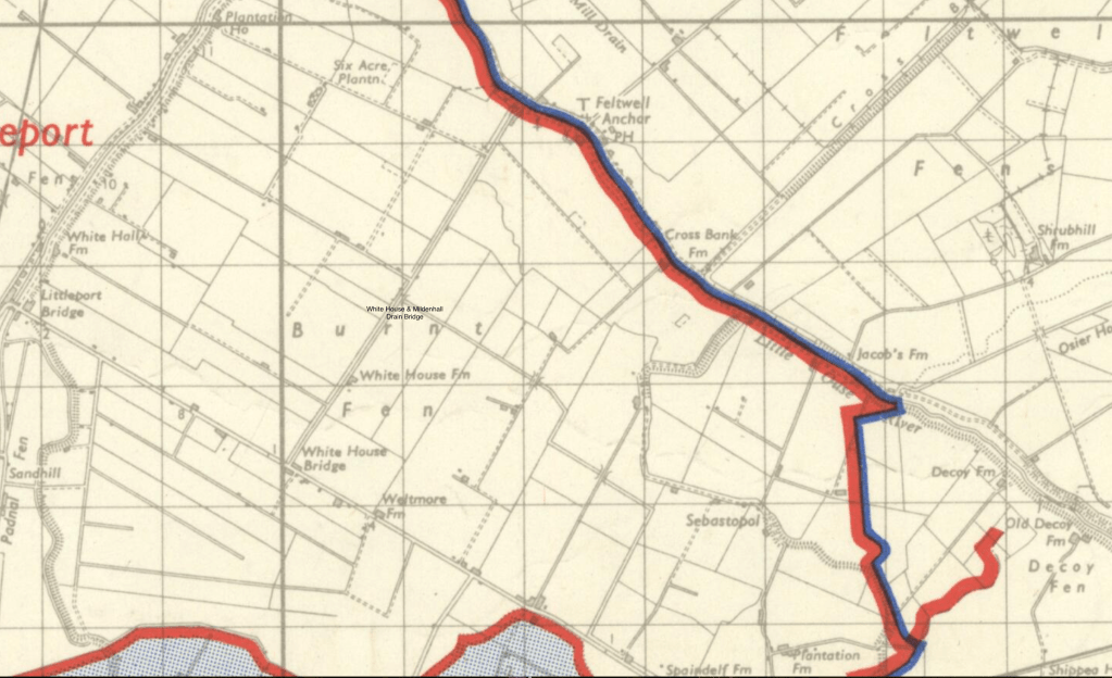
This 1967 Boundary Map shows the area on the corner of White House Road called White House Bridge.
