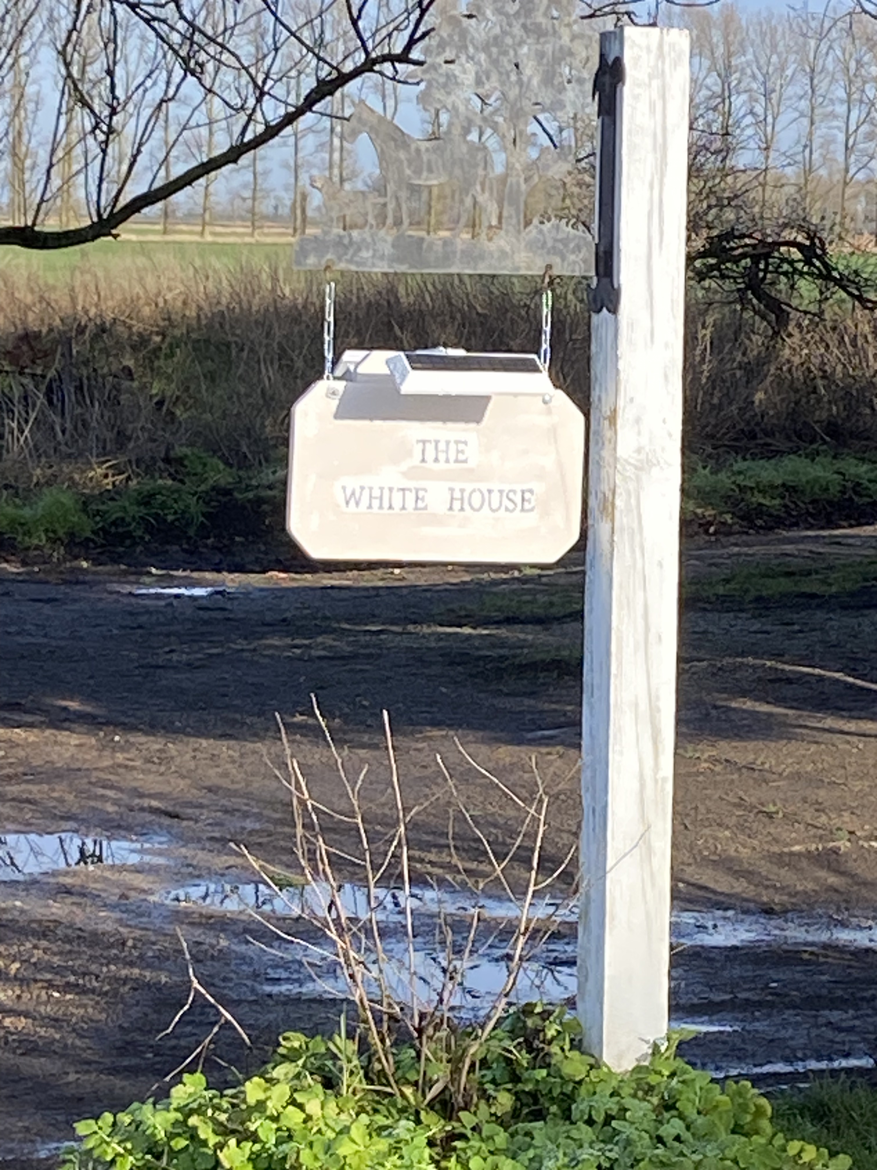
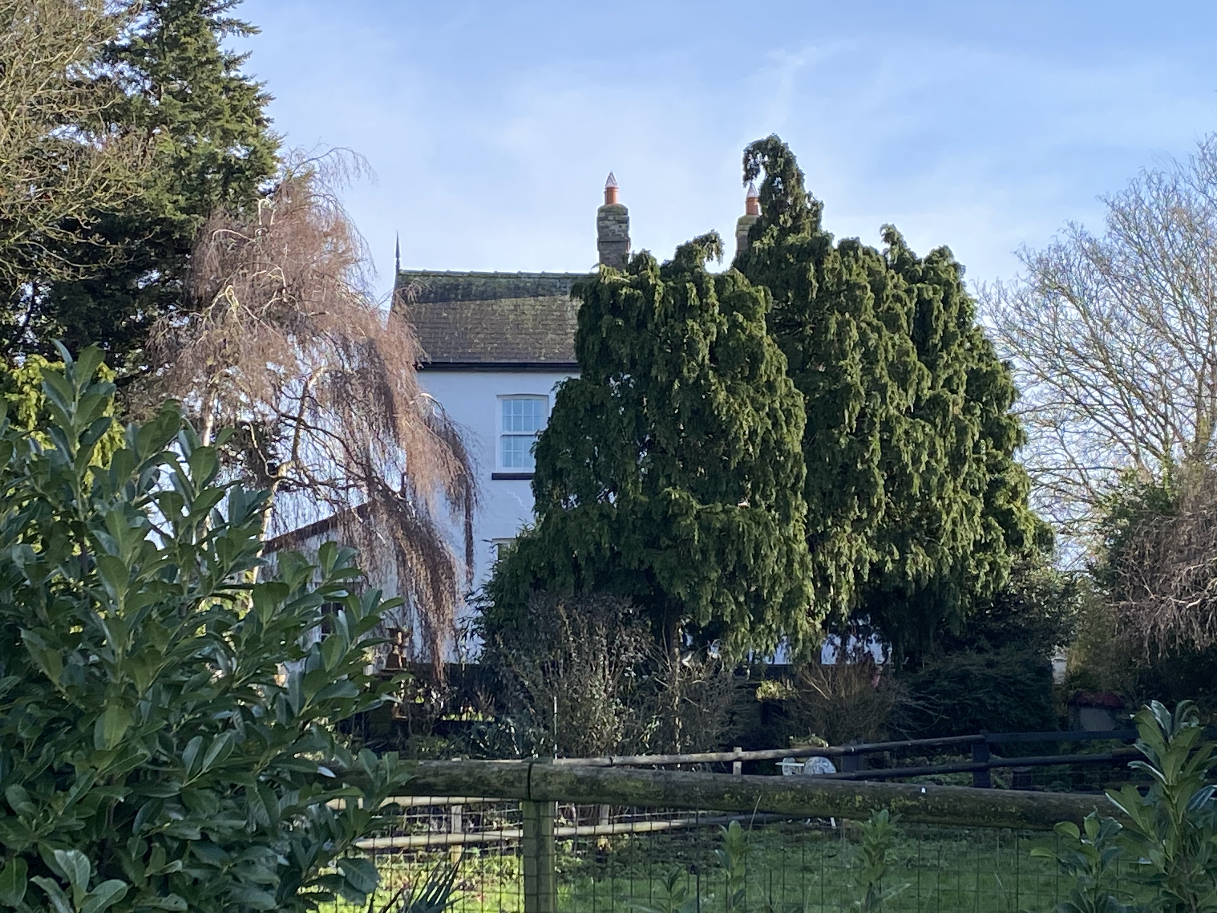
Historically there seems to have been one building the White House or White House Farm which occupied this area of land in White House Road and in all probability seems to be where White House Drove or Road derived its name. There are several mentions of this house and its residents, in the page Little Ouse through the years.
- The 1824 map only shows “White House”
- The 1940 Land Utilisation map only shows “White House Farm” as the title of a group of buildings.
- The 1945 Ordnance Survey only shows “White House Farm”
- The 1967 map shows “White House Farm” with possibly another building which might be White Hall Farm or other farm buildings.
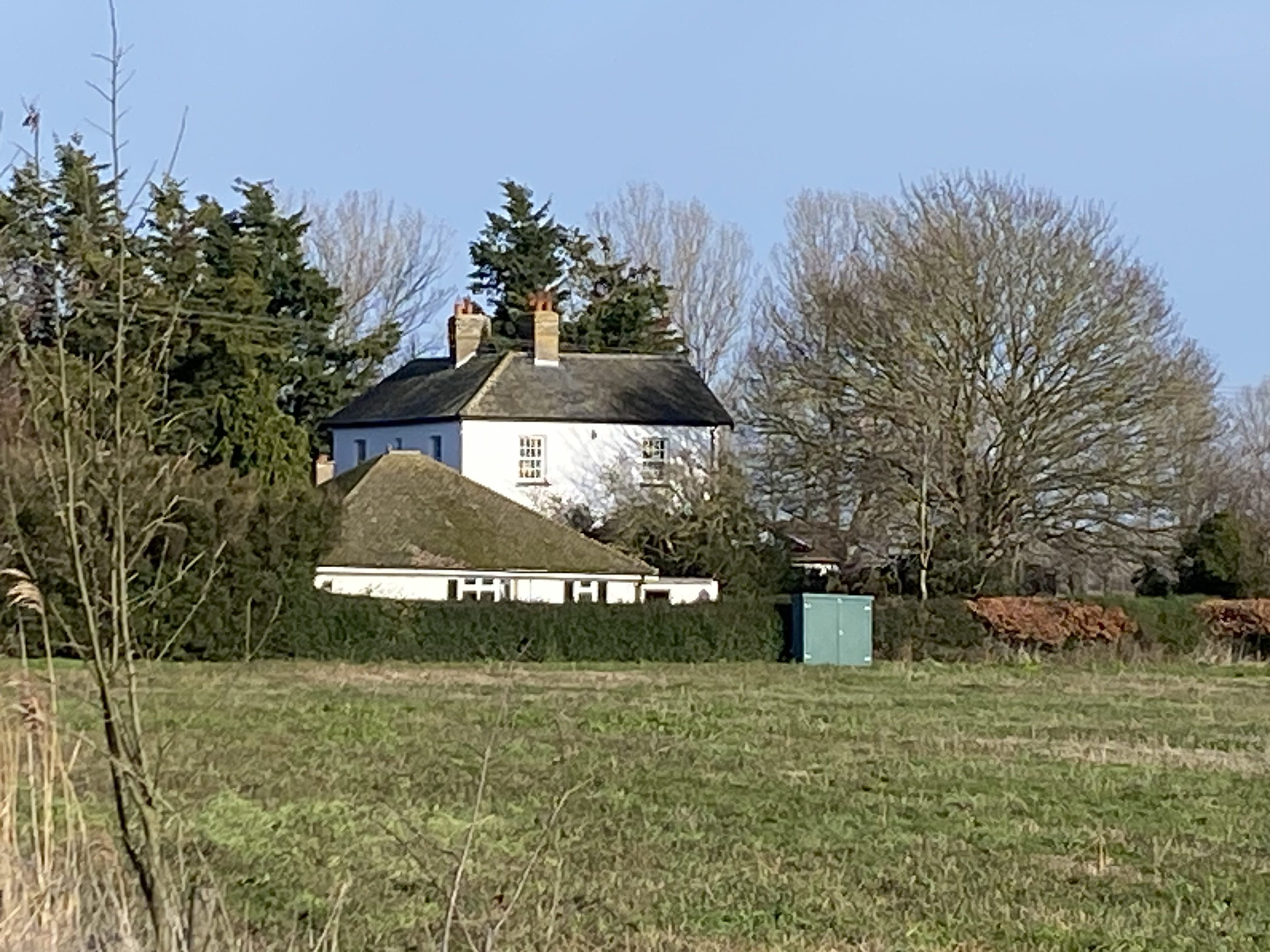
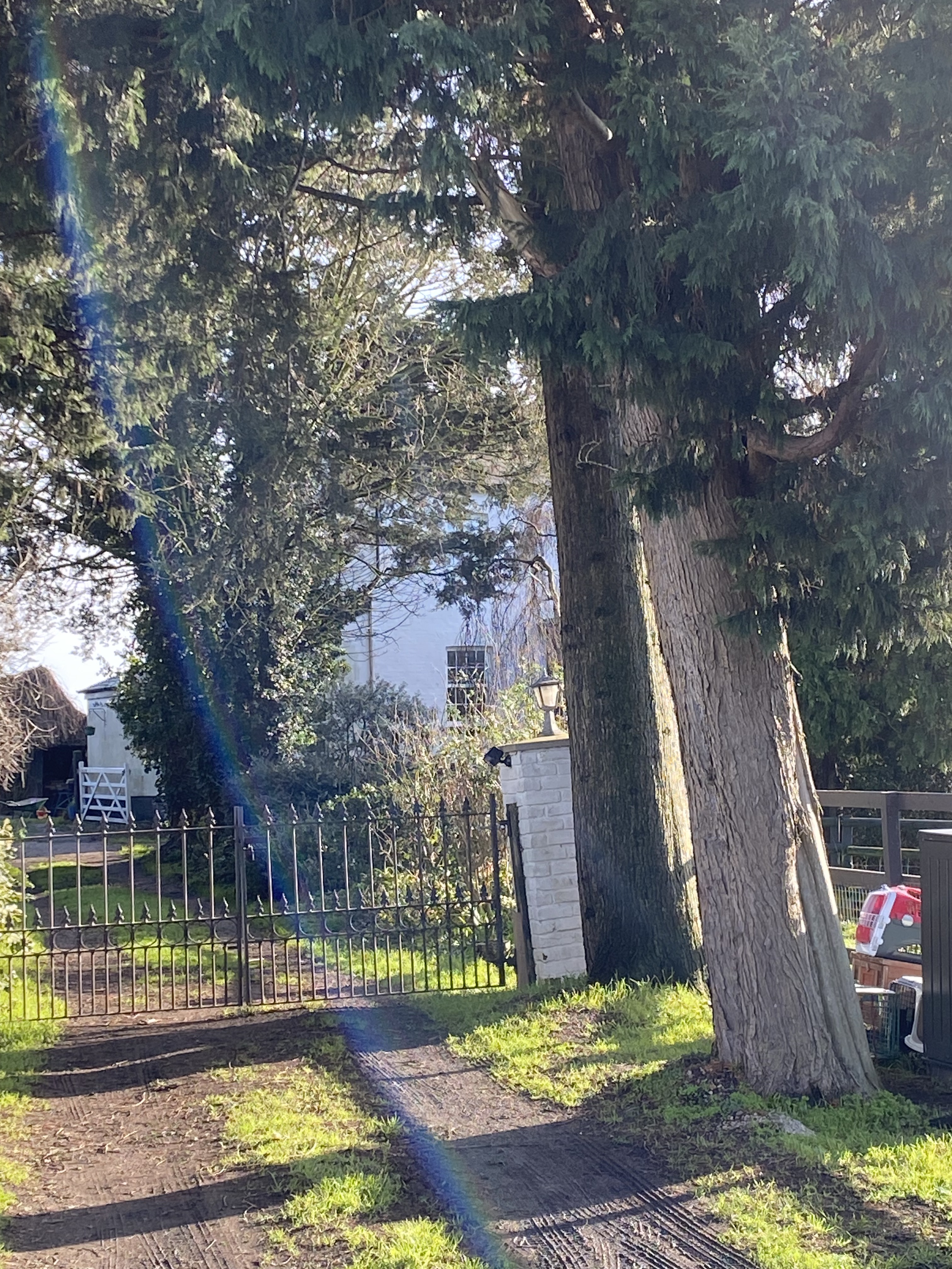
There is a bungalow that can be seen to the front right of the White House, It seems to be a separate dwelling and is named “Whitehall Farm”. White Hall Farm is in most maps shown on the Lynn Road near the Littleport Bridge. This is not unusual though there are several farms were the named farm house is a good distance from the named Farm buildings. The riddle here is its proximity to the White House.
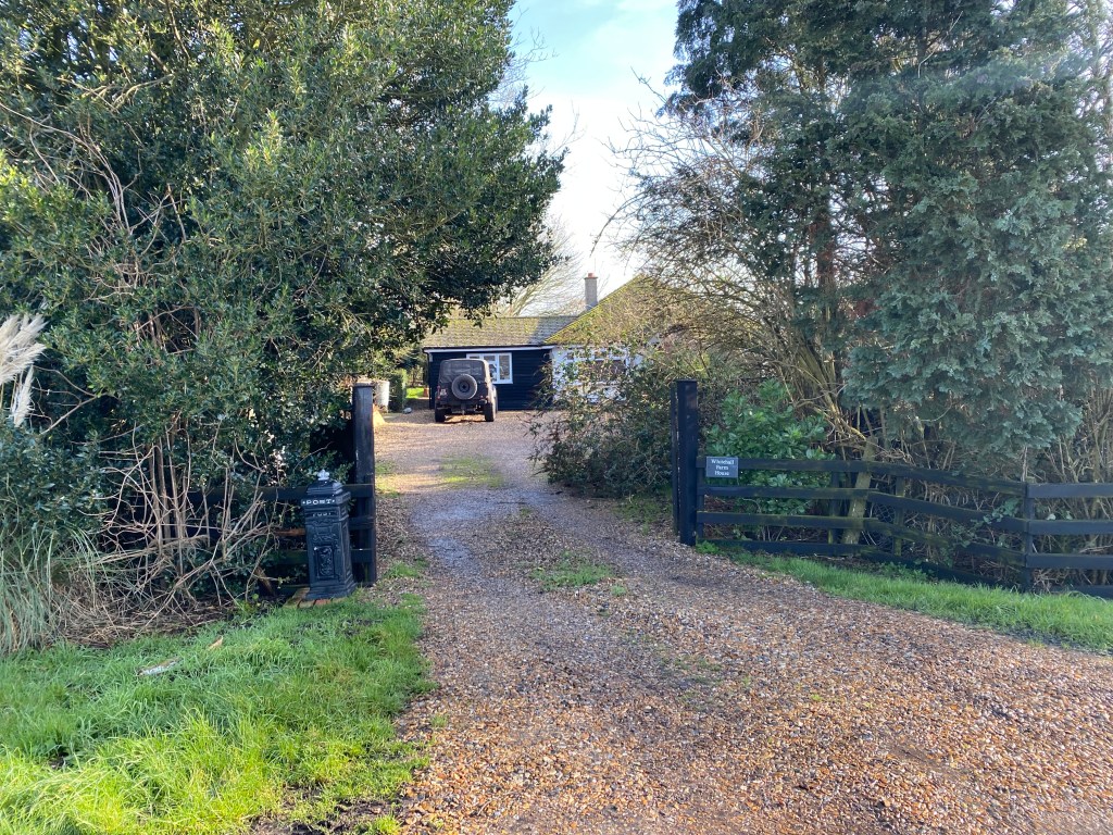
Whitehall Farm House. Although I have only driven past it, this looks like a building that may have been extended over the years.
